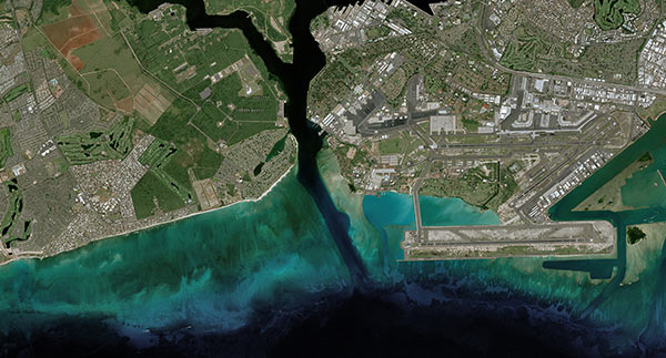
The entire coast of Greenland is now ice-free, unveiling spectacular, previously unknown landscapes as observed by our SPOT, Pléiades and Pléiades Neo satellites.
As a new economic horizon is emerging for Greenland’s 56,000 inhabitants, satellite imagery enables us to observe the island’s evolving landscapes and identify the new challenges that the Northern Hemisphere’s largest landmass is facing due to climate change
Related pages
Access our news on Sustainability
See our imagery in action to support Sustainable Development Goals!
New Greenland map of ice-free areas
DHI, a Danish company specialising in water management, water quality and climate change adaptation, has been piloting and distributing a new satellite image map of ice-free areas since 2018 using SPOT and Pléiades satellite data. This collaborative project, carried out with the Danish Agency for Data Supply and Infrastructure and the Autonomous Government of Greenland, provides both public administrations and private businesses with a new reference map at 1/50,000th scale, replacing a background that dated back to the 1930s and 1970s.


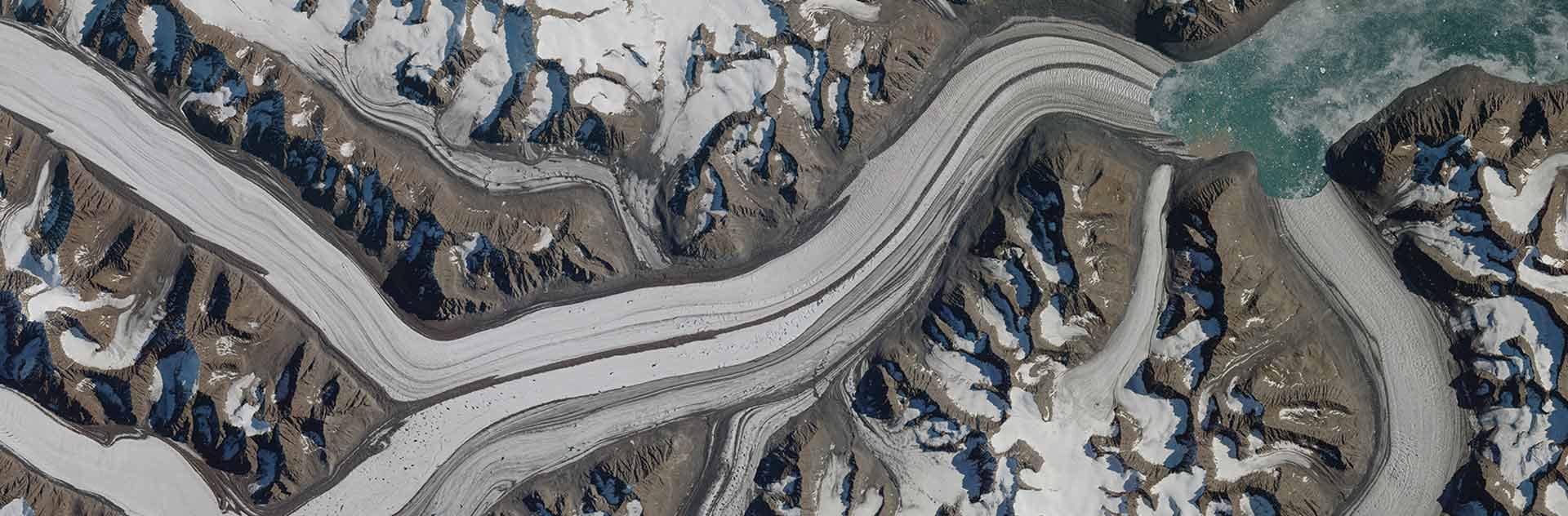
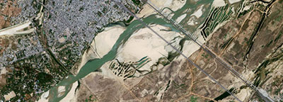
Greenland, landscapes in mutation
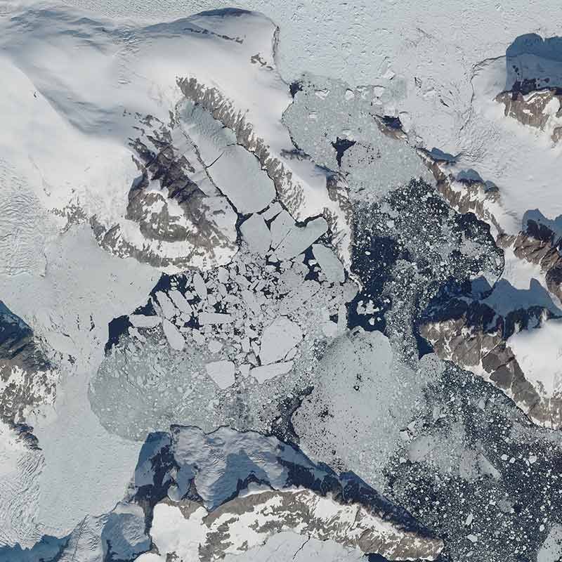
Icebergs at the bottom of the fjords, ready to leave
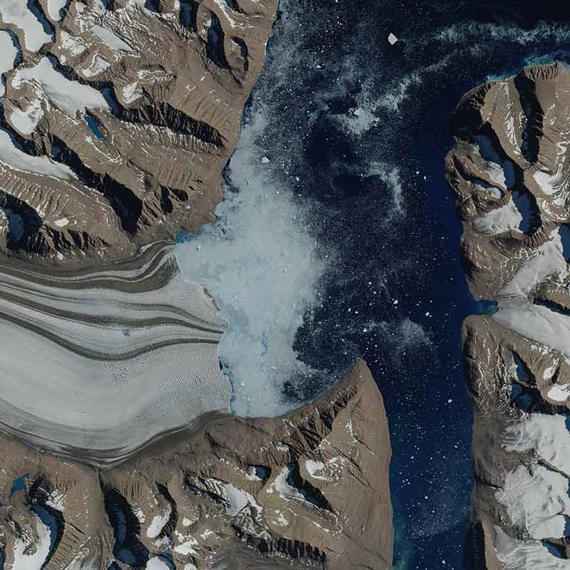
The crumbled front of a glacier, affected by the ocean’s warm temperatures
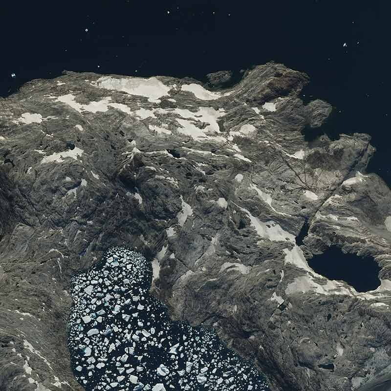
The retreat of ice and snow carves out a new coastline
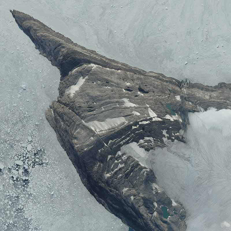
The rocks shed their snow and stand out above the glaciers