-
High-Resolution Mapping and Monitoring of Coastal Environments
-
FAO Uses Airbus Imagery to Estimate Rice
-
Establishing One of the World’s Most Advanced Agricultural Information Systems
-
The Ministry of Agriculture in Pakistan Uses Satellite Imagery from Suparco DRS
-
Cadastral Surveying with Airbus Ground Control Points
-
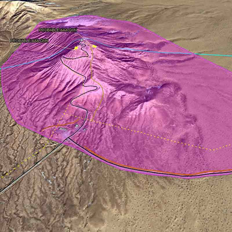
Signal Activity Identification over Iran
-
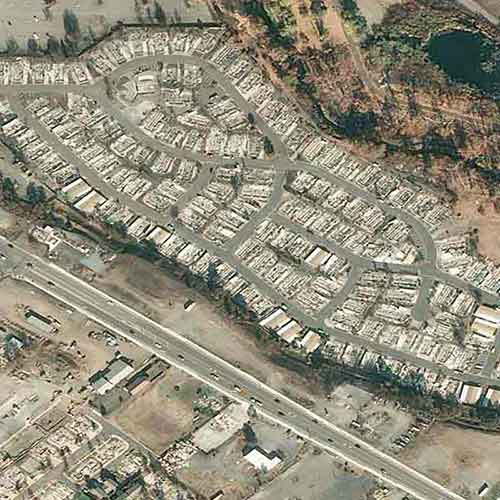
2018 Hokkaido Earthquake and Post-disaster Monitoring
-
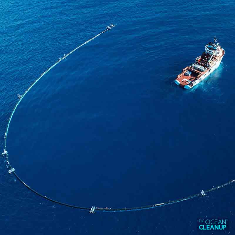
Pléiades Tasking Helping to Clean the World’s Ocean
-
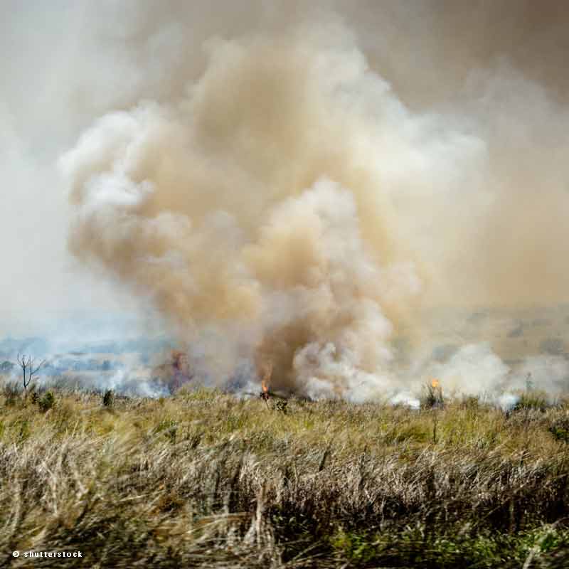
Estimating the Agricultural Waste Burning Area from the Sky
-
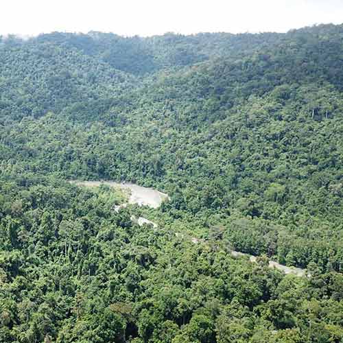
Sustainable Hydropower Programme Feasibility Study in Indonesia with WorldDEM DTM
-
RefineryScanner Shows Saudi Aramco Yanbu Refinery Undergoing Maintenance
-
Dam Monitoring with TerraSAR-X InSAR Analysis - An Effective Alternative to Terrestrial Surveying
-
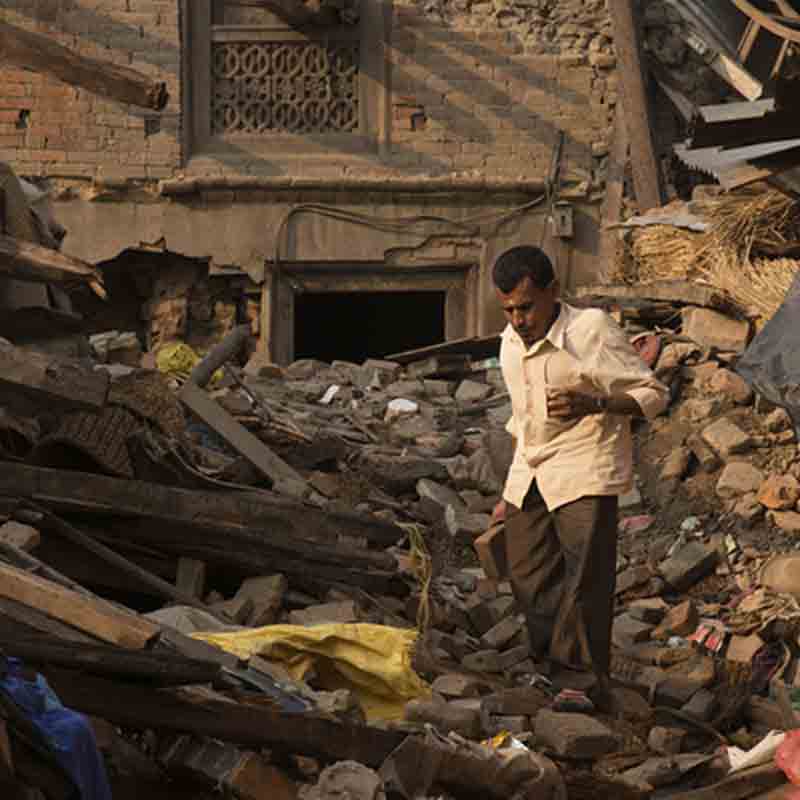
Earthquake Damage Assessment with Pakistan Space Agency